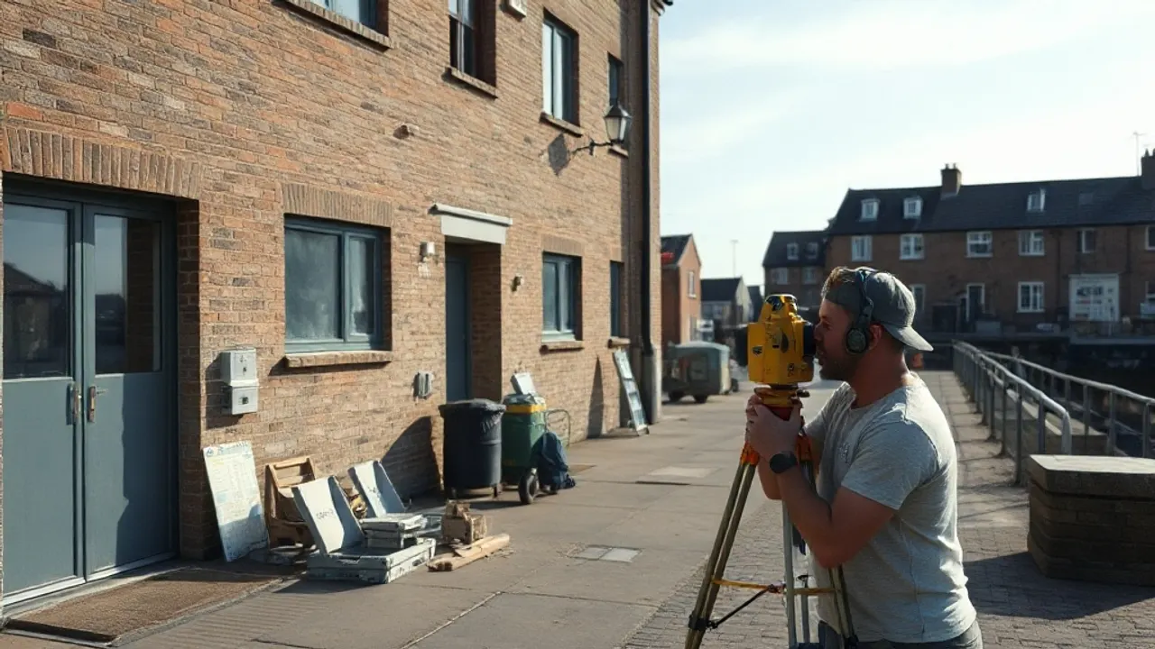
Surveying Chatham's waterfront calls for a combination of measured building survey, topographic and ground investigation work, and careful as-built verification — because much of the dockside sits on reclaimed land, mixes new build with retained historic fabric, and is being delivered in overlapping phases. A surveyor working here needs to understand the river's influence on levels, flood risk and tidal datums, alongside the demands of mixed-use development.
What matters most on a site that is still changing
On a regenerating waterfront, the survey baseline shifts as demolition, ground remediation and new construction proceed. Early work usually establishes a fixed site-wide control network tied to Ordnance Survey datum, so that every later survey shares the same reference points. Without this, levels recorded by different teams at different times rarely reconcile.
Tidal and flood considerations are central near the Medway. A surveyor should set out levels against both Ordnance Datum and known flood thresholds, because finished floor levels, podium decks and flood-resilient detailing all depend on accurate height data. Retained dock walls, quay edges and listed structures around the historic dockyard also need precise condition and measured surveys before any work disturbs them.
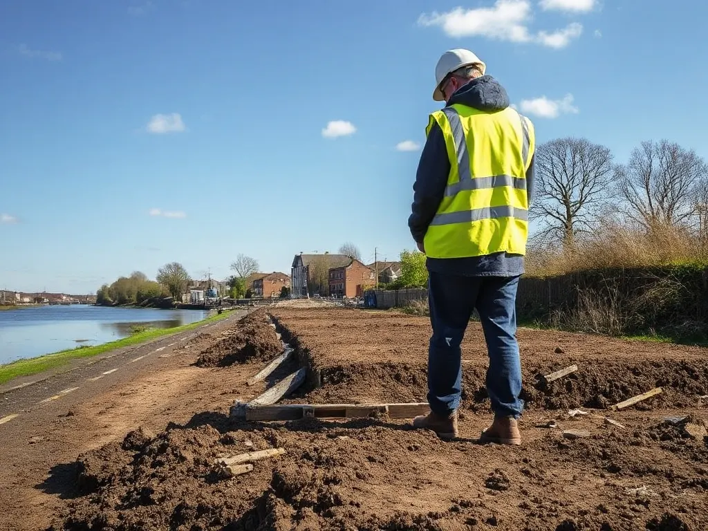
Reclaimed and made ground beside the river
A surveyor working here needs to understand the river's influence on levels, flood risk and tidal datums, alongside the demands of mixed-use development.
Large parts of Chatham's riverside are made ground — material placed over former mudflats, dock basins or industrial workings rather than natural soil. This affects almost every survey decision. Made ground varies in depth and composition across short distances, so a surveyor and the geotechnical team usually plan boreholes and trial pits to map it rather than assuming uniform conditions.
Points that typically drive the ground investigation include:
- Depth and bearing capacity of fill, and where competent strata begin.
- Ground contamination from former industrial and dockyard use, including hydrocarbons and heavy metals.
- Groundwater behaviour, which near the river often responds to tidal movement.
- Buried structures — old quay walls, slipways, services and foundations that survey and intrusive work may reveal.
Settlement is a recurring concern on reclaimed riverside ground. Long-term monitoring of levels, both during and after construction, lets the design team confirm that fill is behaving as predicted.
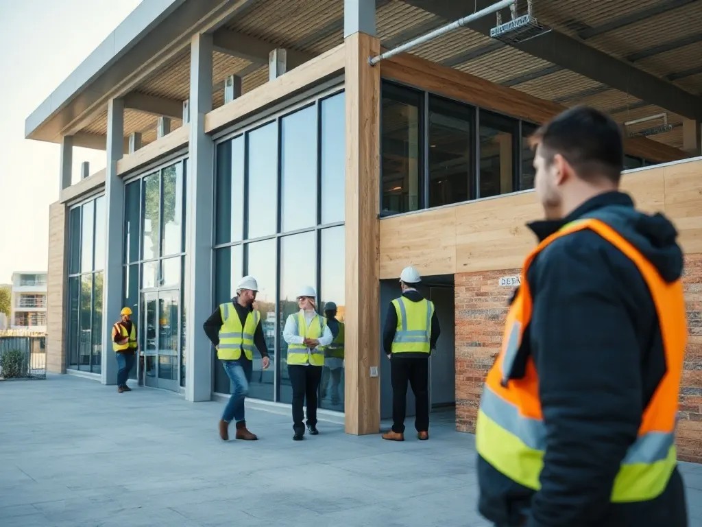
Holding mixed-use phases together
Chatham's waterfront schemes typically blend residential blocks, commercial and retail units, public realm and sometimes marine frontage, delivered in stages over several years. A mixed-use site survey has to serve all of these uses at once, so the survey brief is broader than for a single building. Adoptable roads, drainage to a different standard, shared podiums and party-wall interfaces between phases all need to be captured consistently.
Because phases overlap, the same control network and coordinate system should carry through the whole programme. When a later block is set out against an early survey, any drift in the reference data becomes a real risk of misalignment at boundaries, service runs and shared structures. A surveyor coordinating across phases will usually re-verify control periodically and keep a single record of datum, benchmarks and tolerances that every contractor uses.
Checking what was actually built
As-built surveys — also called verification surveys — record what has physically been constructed, as opposed to what the drawings intended. On a waterfront site this matters because tolerances are tight at interfaces with retained structures, flood thresholds and adopted infrastructure. Comparing as-built measurements against the design model shows where dimensions, levels or service positions have moved beyond acceptable limits.
This work is generally staged: foundations and slab levels are checked before they are covered, drainage and ducting are recorded before backfilling, and the completed structure is surveyed for handover and for any adopting authority. The resulting as-built information feeds the final record drawings and, increasingly, a building information model that owners and operators rely on for maintenance once a phase is occupied. Anyone commissioning survey work should agree at the outset which stages will be verified and to what tolerance, so gaps do not appear once ground is sealed.
Last reviewed: June 2026