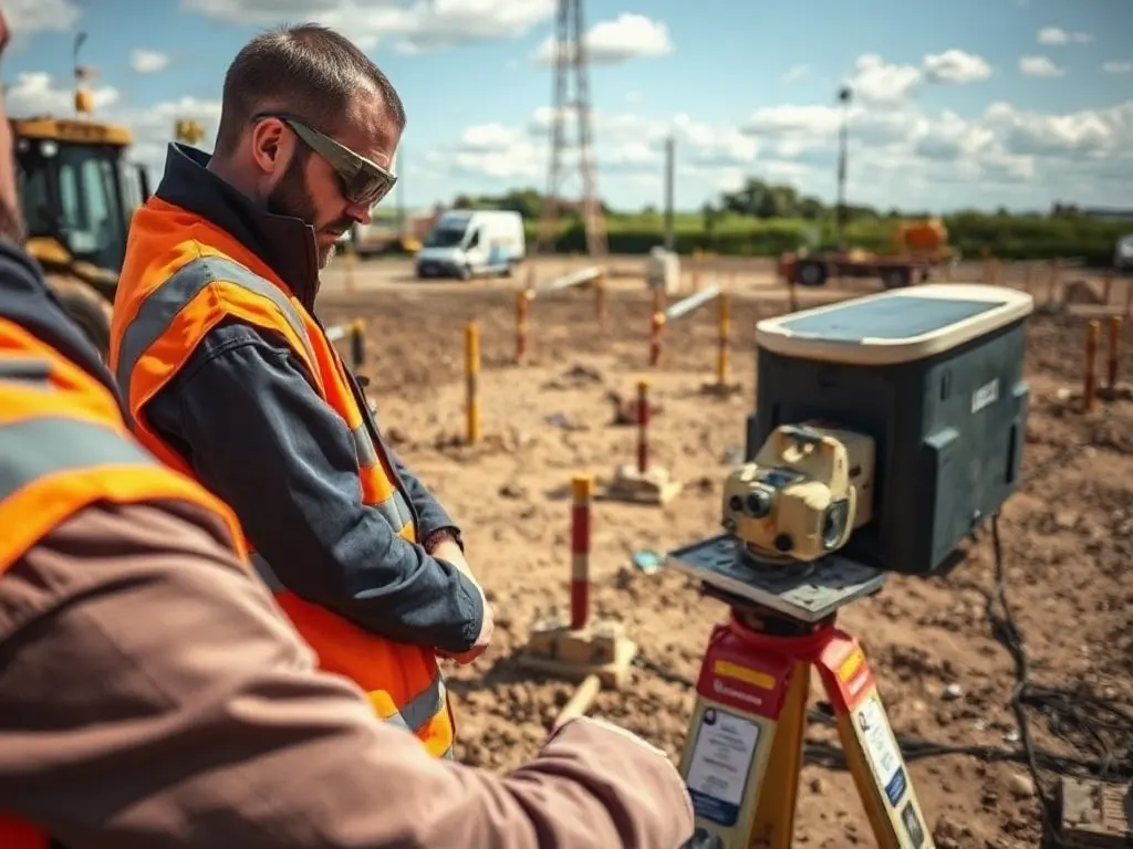
An underground utility survey maps the buried services beneath a site — water, gas, electricity, telecoms, drainage and more — using non-destructive detection methods to locate their position and, where possible, depth. The work is carried out before excavation or design to reduce the risk of striking a live cable or pipe, and the results are usually recorded against a quality standard known as PAS 128.

What an underground utility survey finds
The aim is to identify what runs below ground and where, so that anyone digging, designing or building has a reliable picture before breaking ground. A survey typically traces both the route and, where the method allows, the depth of buried assets across a defined area.
Commonly detected services include:
- Electricity cables — high and low voltage
- Gas mains and service connections
- Potable water mains and supply pipes
- Foul and surface water drainage
- Telecoms and fibre ducts
- Street lighting and traffic signal cabling
- Private or unrecorded services, which utility records often miss
No survey method finds everything. Plastic pipes, for example, carry no electrical signal and may not show clearly on radar, so a survey reduces uncertainty rather than removing it entirely. The reliability of each located service is reflected in the quality level assigned to it.
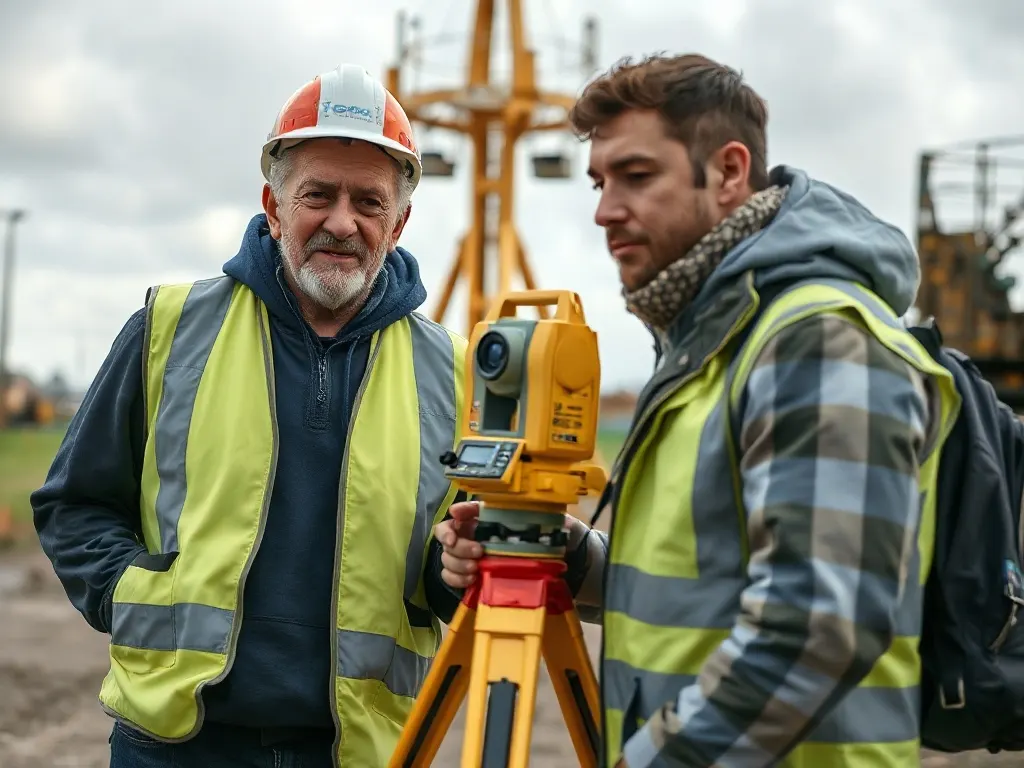
Detection methods and how they combine
A survey typically traces both the route and, where the method allows, the depth of buried assets across a defined area.
Two techniques do most of the work, and they are used together because each finds things the other misses.
Electromagnetic location (EML) detects metallic conductors and pipes. A surveyor uses a hand-held locator that picks up the electromagnetic field around a buried cable or pipe. Some assets radiate a signal naturally — live power cables, for instance — while others need a transmitter to apply a signal, either by clamping onto an accessible point or by feeding a small traceable device, called a sonde, through a duct or drain. EML is quick and accurate for tracing metallic services but cannot detect non-conductive materials.
Ground penetrating radar (GPR) sends radio-frequency pulses into the ground and records the reflections from buried objects and changes in the soil. It can pick up non-metallic features such as plastic pipes, voids and some drainage that EML cannot. Its performance depends heavily on ground conditions: dry sand and chalk give good penetration, while wet clay absorbs the signal and limits depth. GPR data needs careful interpretation, as a reflection alone does not always confirm what an object is.
Used in combination, EML confirms the identity and signal of conductive services while GPR fills in the non-metallic gaps and helps verify positions. Existing utility records from asset owners are used alongside the field survey to cross-check findings, but records are frequently incomplete or inaccurate and should not be relied on in isolation.
When you should commission one
A utility survey is worth arranging whenever ground will be disturbed or whenever underground services affect design decisions. Typical triggers include:
- Before any excavation, piling or trenching
- At the early design stage of construction or infrastructure projects
- When buying or developing a site and assessing constraints
- Ahead of landscaping, foundations or drainage works
- Before installing new services that must avoid existing ones
Commissioning the survey early — before designs are fixed — usually gives the most value, because the layout can be adjusted around known constraints rather than discovered problems. Striking a buried service is dangerous and expensive, and the cost of a survey is generally small against the cost of damaging a main or injuring a worker.
Understanding PAS 128 confidence levels
PAS 128 is a publicly available specification that sets out a standard method and grading system for underground utility detection. It exists so that a survey from one provider can be understood and compared on a consistent basis, with each located utility given a quality level that states how it was found and how reliable the position is.
The specification defines survey types and quality levels, broadly working from least to most confident:
- Quality Level D — based on existing records only, with no site detection. The least certain.
- Quality Level C — records reconciled with visible site features such as manholes, valve covers and inspection chambers.
- Quality Level B — detected on site using geophysical methods such as EML and GPR, giving a surveyed position. This level is further subdivided to reflect how the position and depth were verified.
- Quality Level A — verified by physical exposure, usually by carefully excavating to the service, often with vacuum excavation. The most certain, giving precise position and depth.
A single survey often contains a mix of levels — some services detected at Level B, others known only from records at Level D. The quality level attached to each utility tells you how much weight to place on it, which matters when planning excavation close to live assets.
What the survey output includes
The deliverable is normally a measured drawing showing the located services overlaid on a topographic or site plan, with each utility identified by type and labelled with its PAS 128 quality level. Depths are given where they could be measured. Outputs are commonly supplied as a CAD file and a PDF, and increasingly as a georeferenced or 3D model for larger projects.
A report usually accompanies the drawing, recording the methods used, the date and conditions of the survey, the equipment, any areas that could not be accessed or detected, and the limitations that apply. These limitations are important: they explain where confidence is lower, so the drawing is read with its caveats rather than treated as a complete and certain picture of everything underground.
Last reviewed: June 2026